Pearisburg to Waynesboro: More Virginia!


“I only went out for a walk and finally concluded to stay out till sundown, for going out, I found, was really going in.”

-John Muir

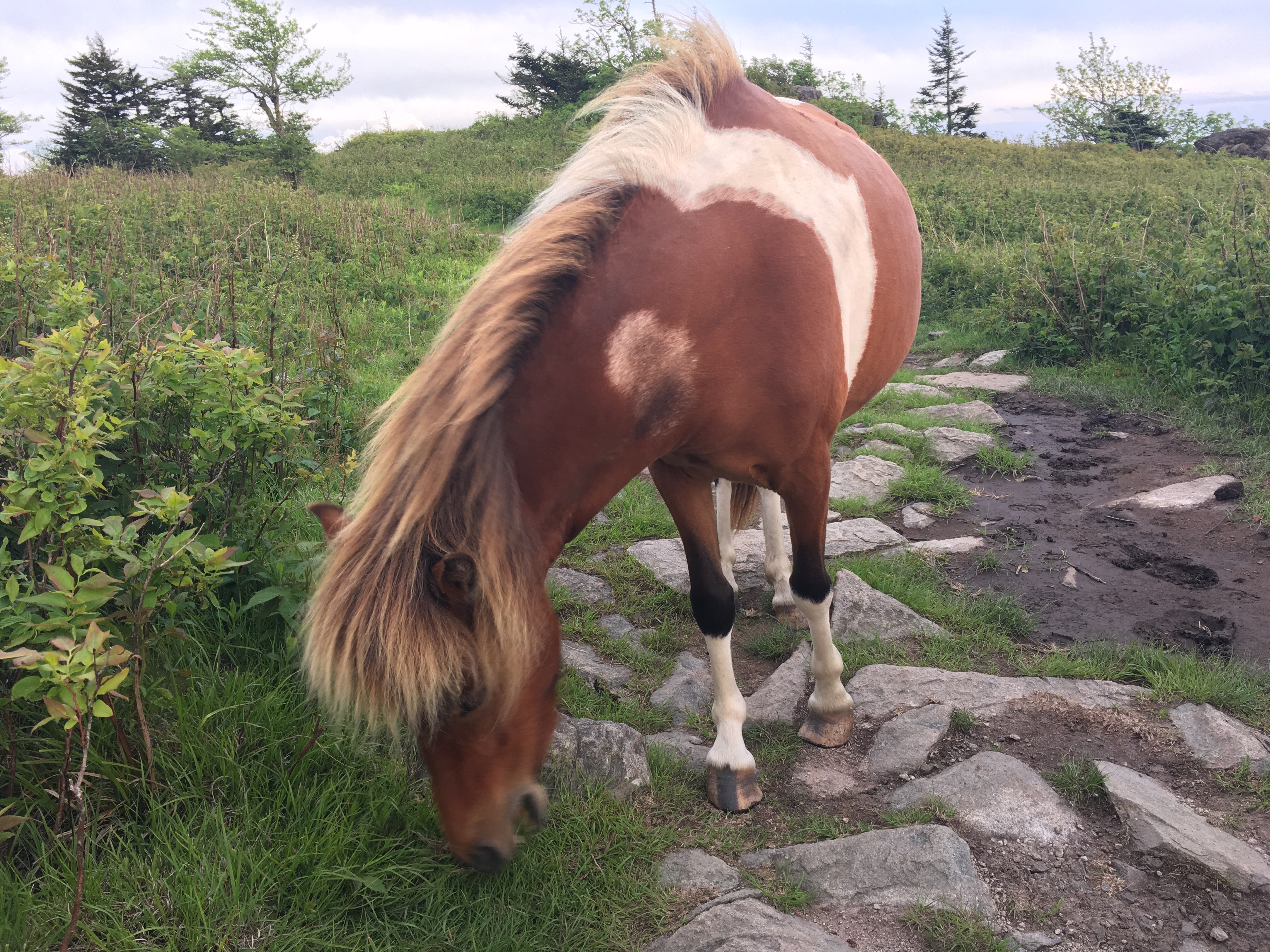
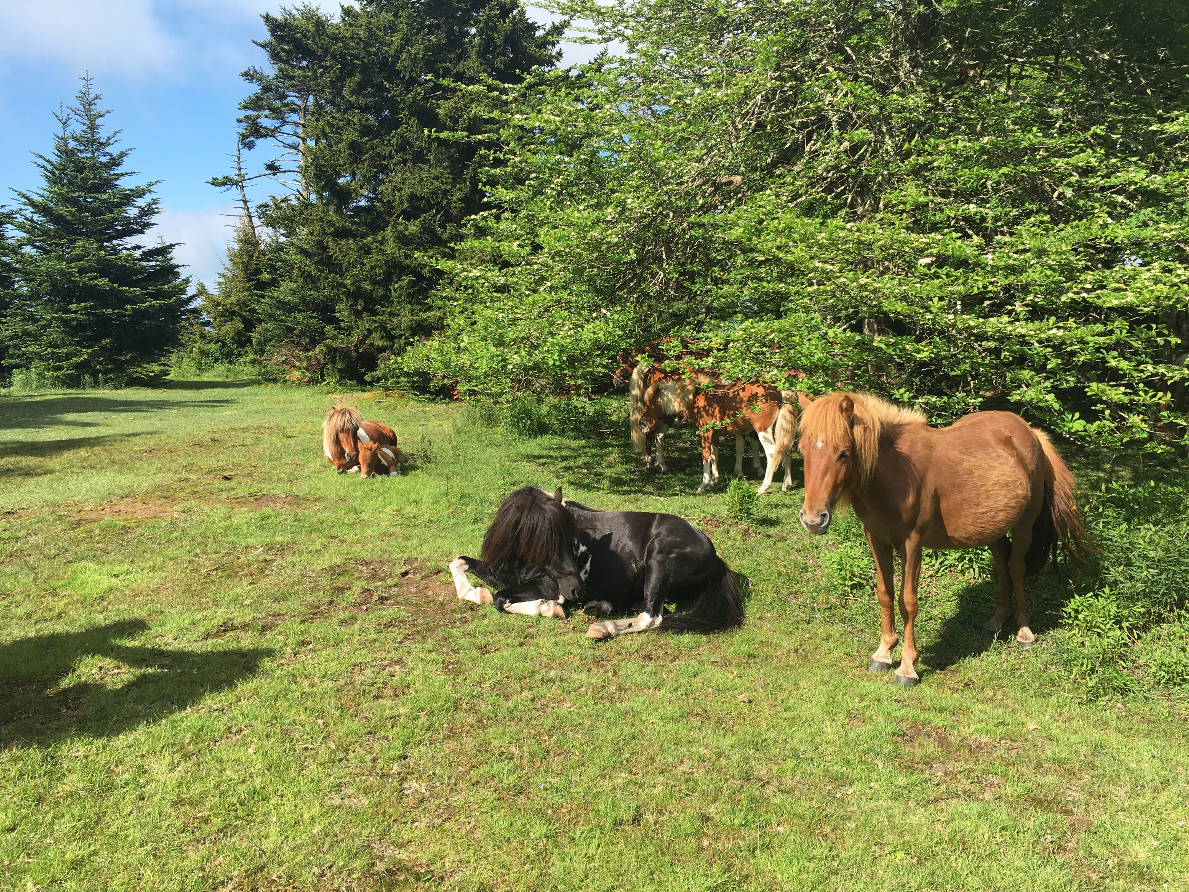
So, Virginia has offered a range of landscapes from its open pastures (with their charming residents) to its expansive highlands.  Back into elevation, there are some beautiful ridgeline walks.  Looking back, Mt. Rogers and Grayson were really beautiful sections.  I look forward to visiting again one day.

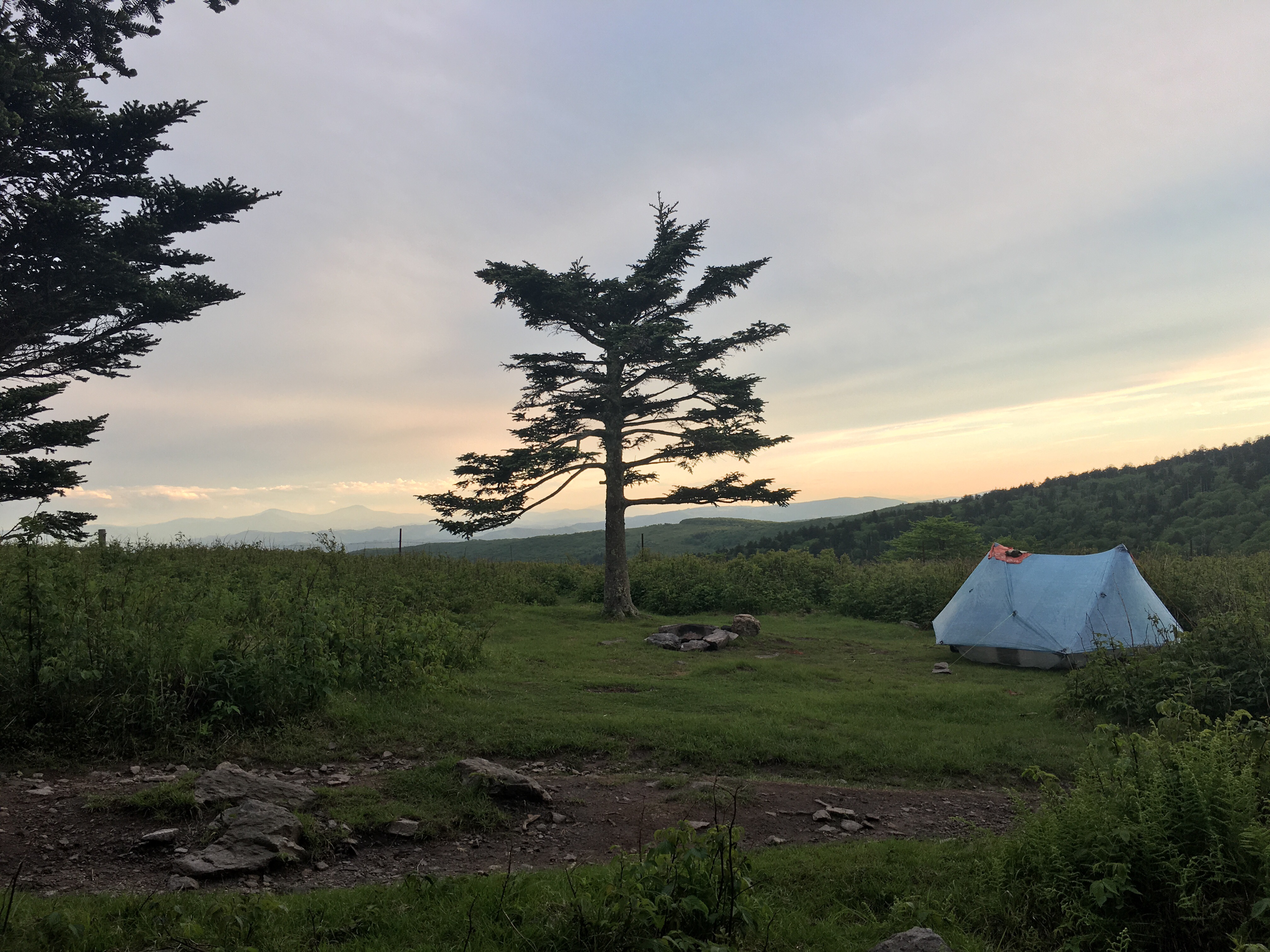
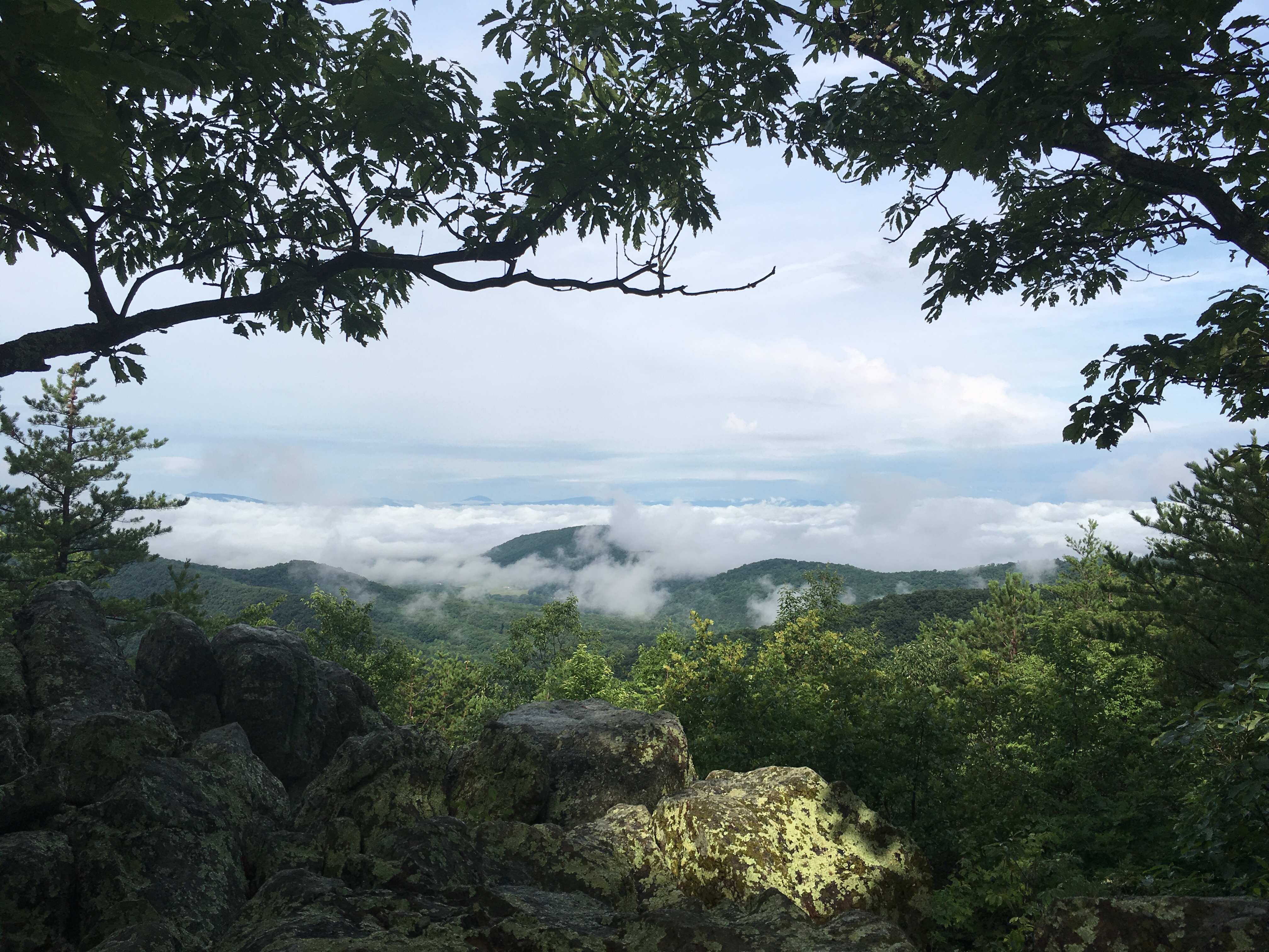
My second night out of Pearisburg, I hiked 22 miles to Wind Rock. A long day, but with a storm on its way, it offered some great views.  Watching a front roll in at sunset from a few thousand feet up was pretty cool.  I’ve titled this picture ‘An Evening View of Mordor’.

(As a side note: on this day, not only did I hike 20 miles, but I climbed 2 mountains, and ate 2 pop tarts. This will now be known as a Triple Double in the SFSSF stat line.)

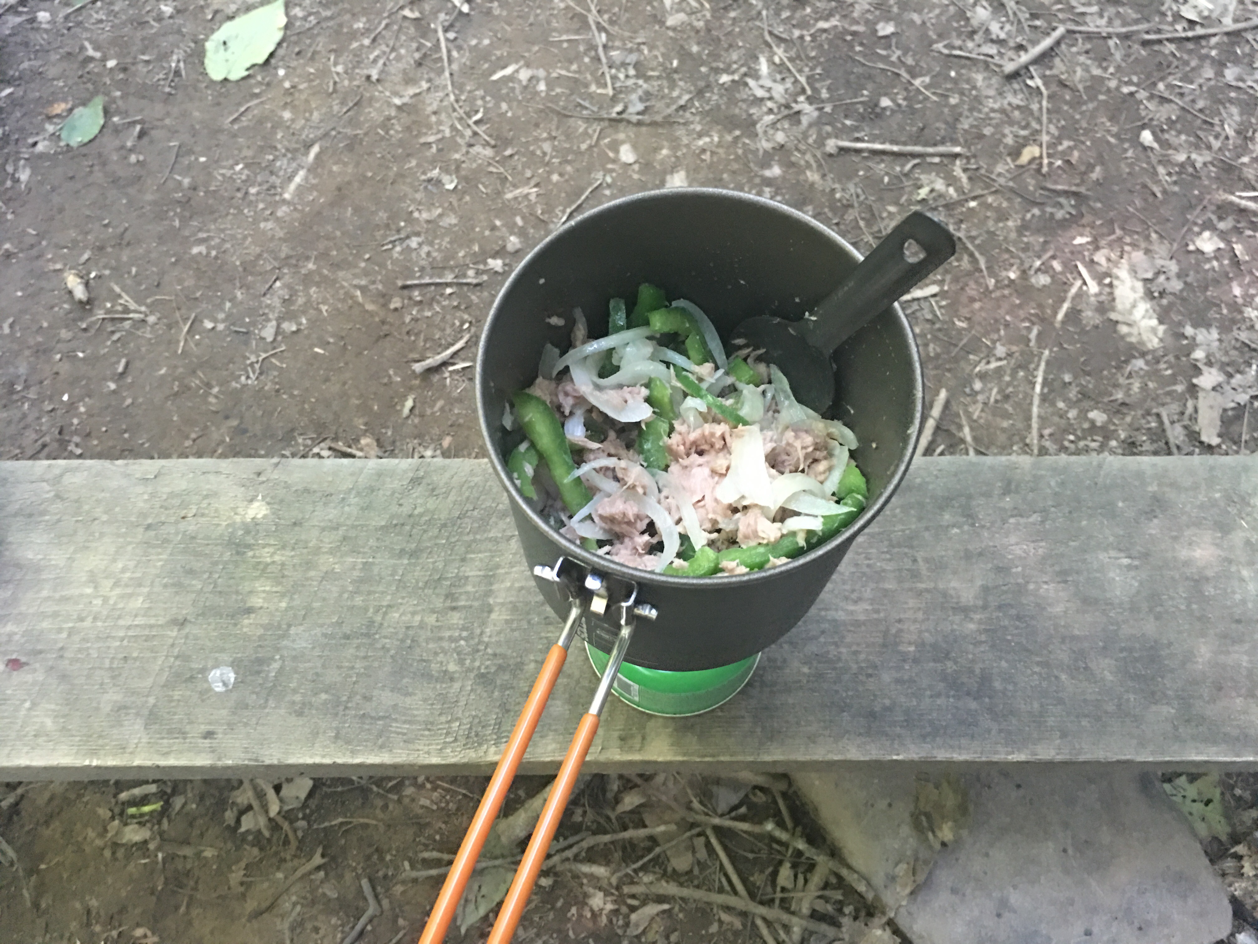
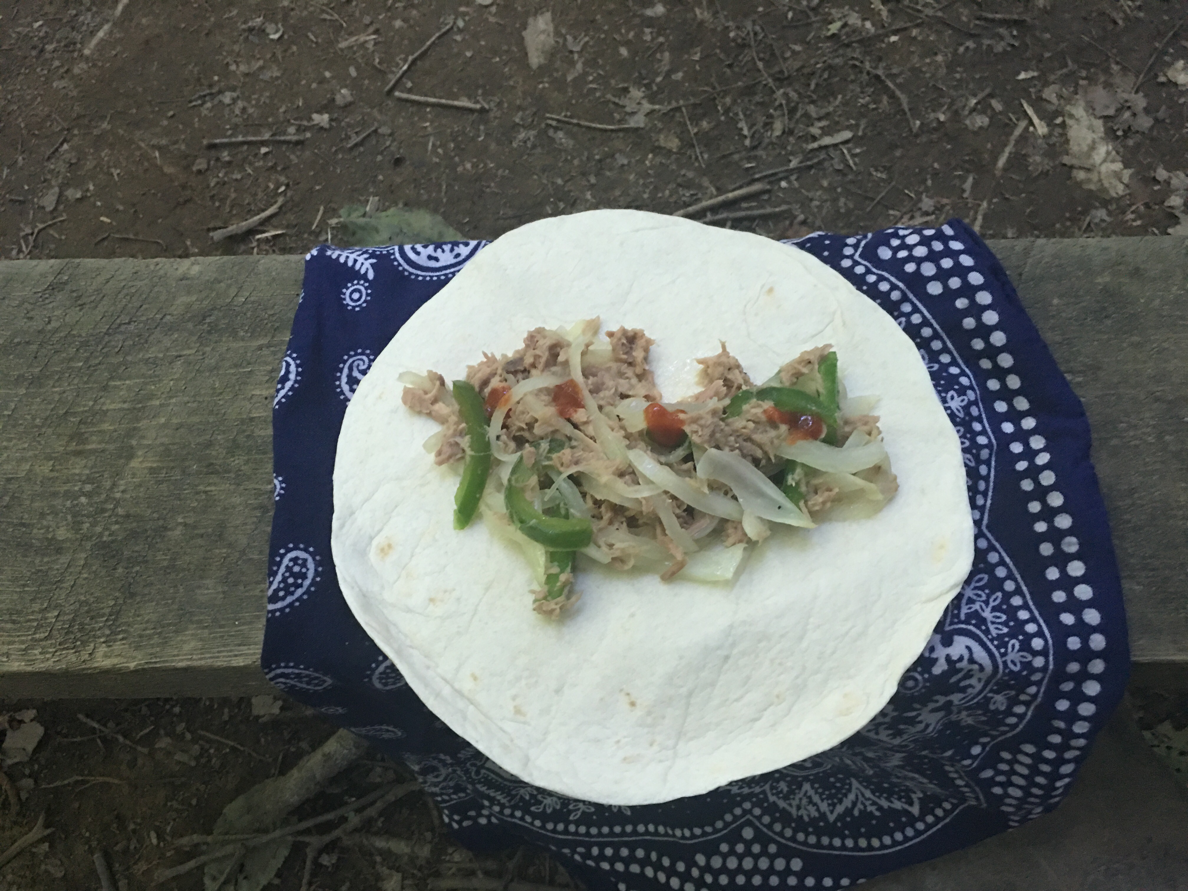
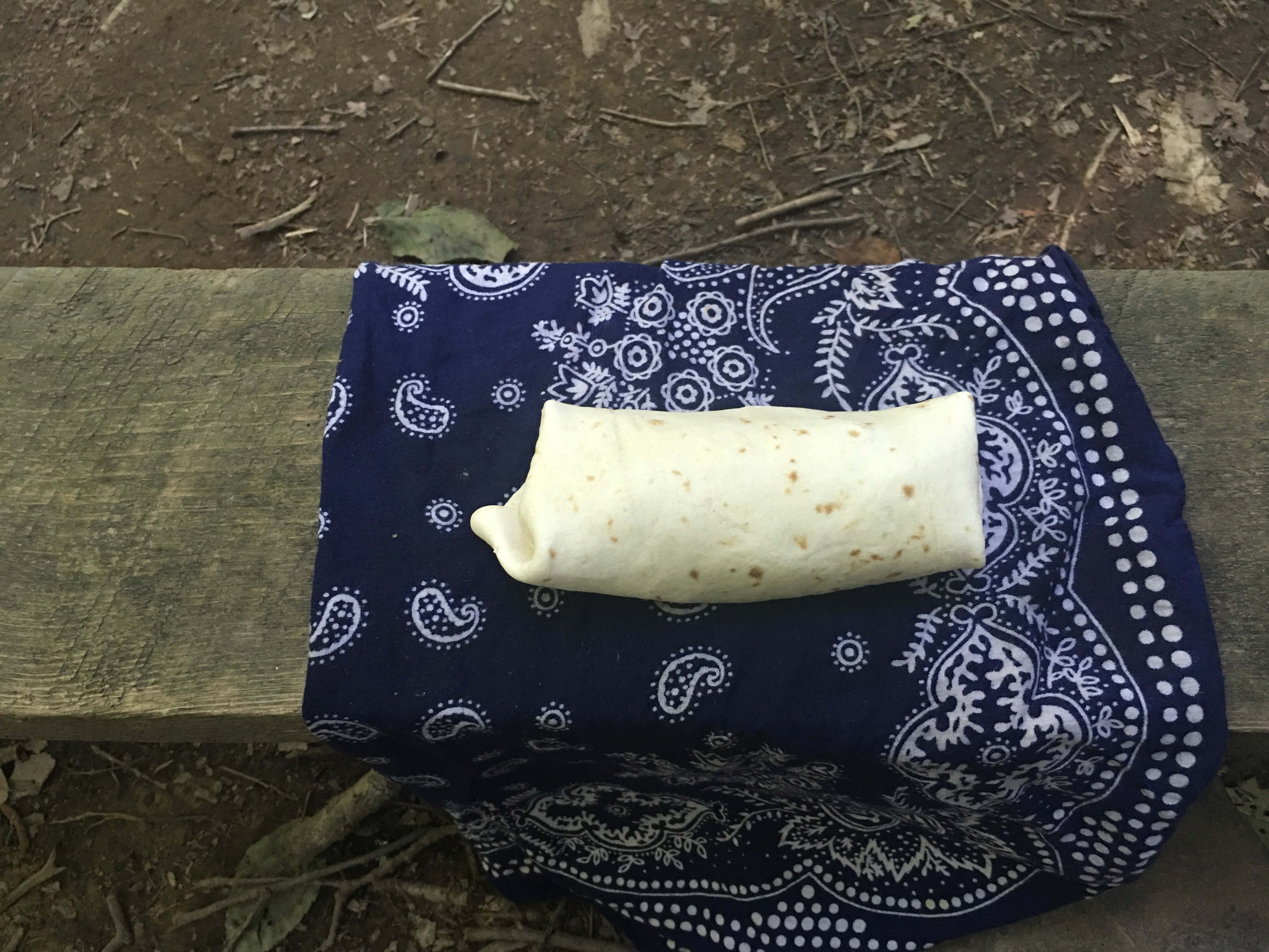
The next day, the rain had rolled in.  Not enough weather to keep me in the tent, so I got going in a bit of a drizzle.  I stopped for lunch about noon, and while I was making myself a pb&j tortilla (a midday staple), this curious little gal strolled up!

Guys! I finally saw a bear!

The best shots I could get with the rain.  She walked up about 20 yards away, I’m sure to check out this hiker and his lunch.  It was kind of weird, at no point did I feel startled or threatened.  I didn’t get up, she didn’t get any closer.  And there was no doubt we each knew the other was so close.

After a few seconds, she went on her way and I finished my lunch and went on mine.  An amazing experience.

Another couple days and I’d get to climb what’s called the Dragon’s Tooth.  It’s a series of large rocks that pierce a steep ridge line, finishing with a huge monolith-like rock structure at the top of the ridge.  A tough climb, but well worth the effort.  Another on-top-of-the-world moment.

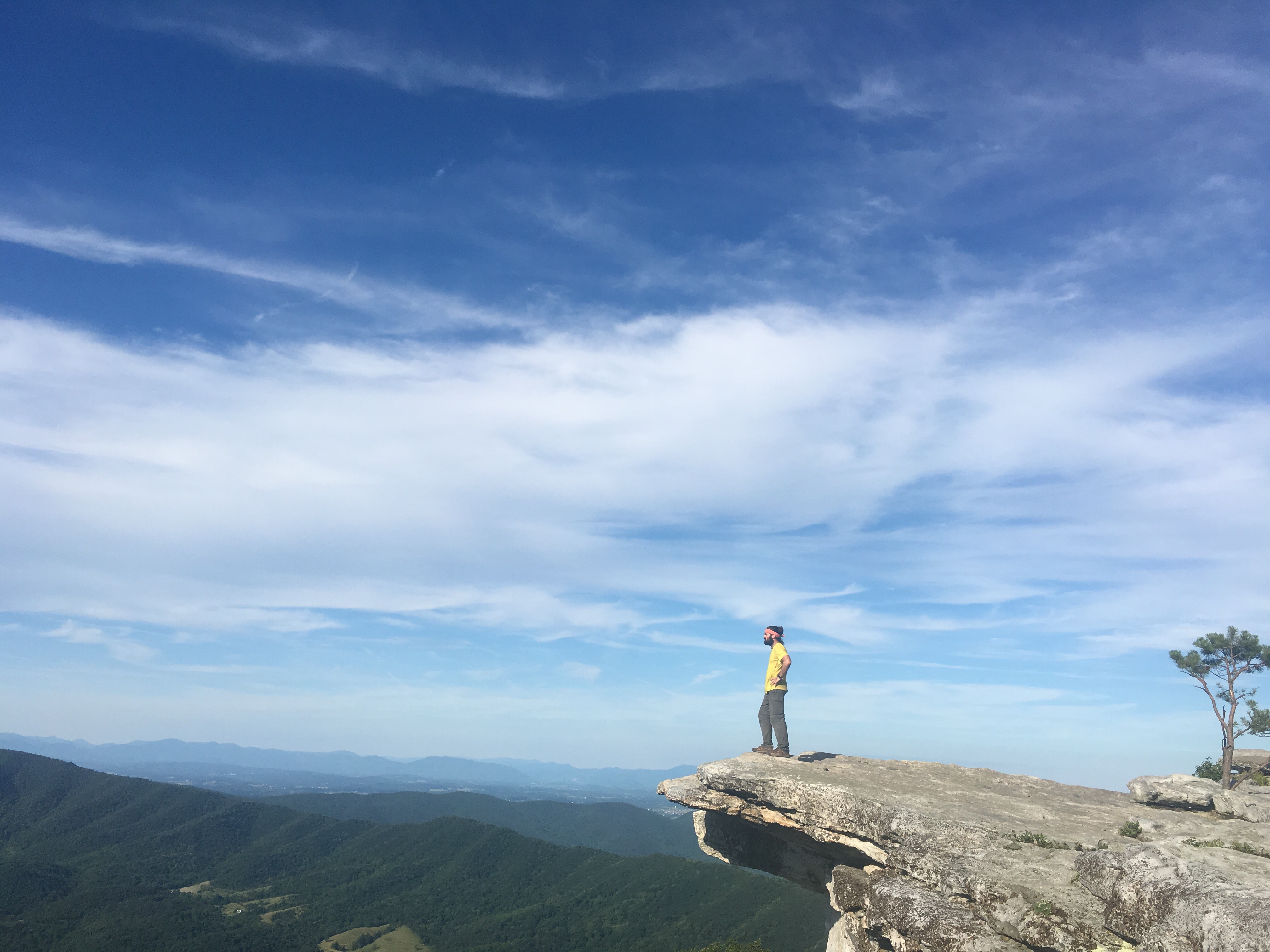
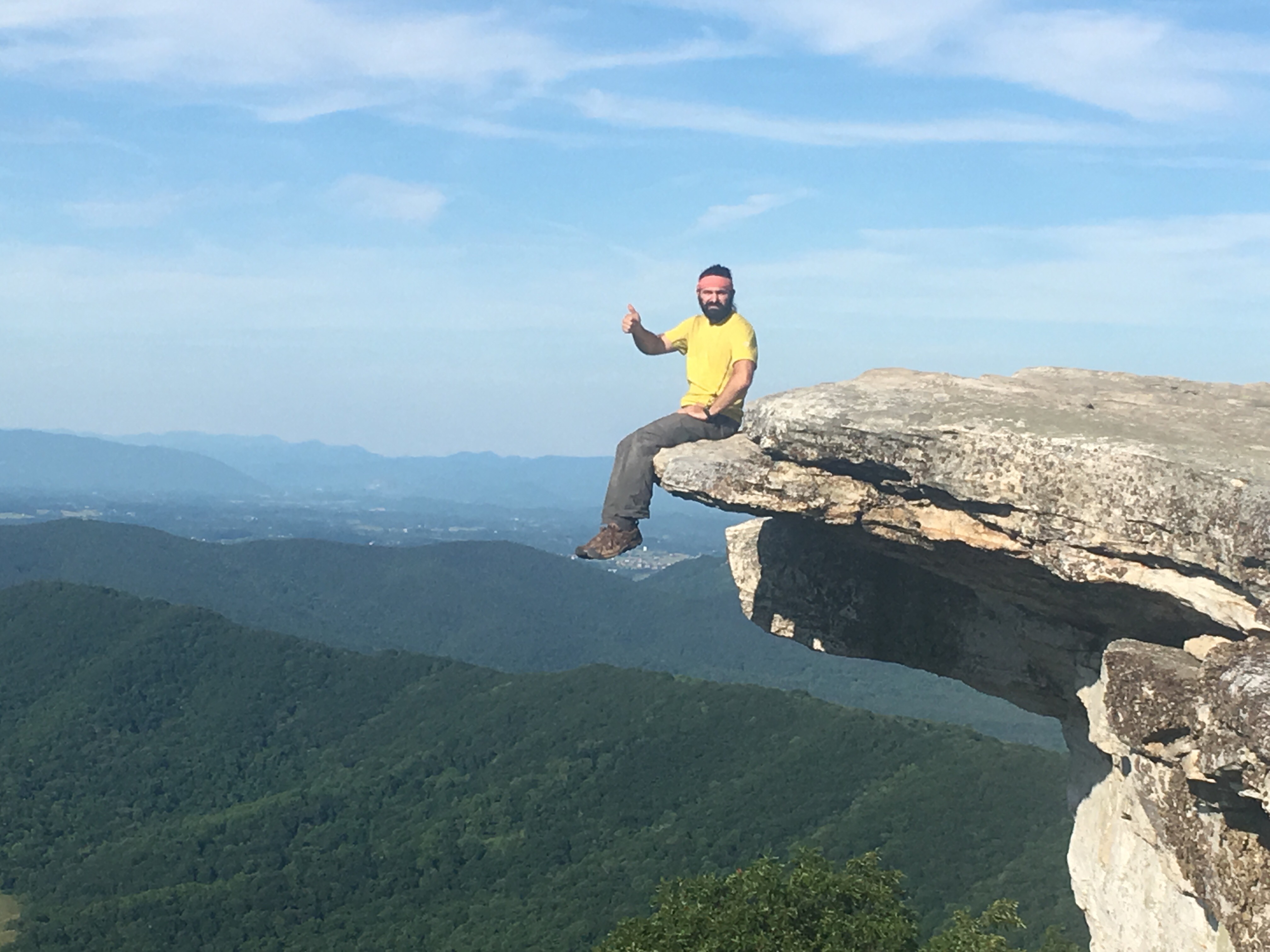
Right after that, a steep decent and another climb.  You’re rewarded with another amazing view at McAfee Knob.  A (somewhat famous…thanks Bill Bryson) spot that has become one of my best experiences on the trail.

I had been pushing more miles, and doing longer days at this point.  After a long day, it’s a great feeling to get to a stop where there’s something to see.  After this many days on trail, who wants to hike all day to see more trees?  No one does.

McAfee Knob offers a unique photo op, with a rock formation that juts out over the cliff side.  So cool to be able to get my picture there.  

After this long day (with just a bit of climbing), the reward was incredible.  I soaked up the view, and watched sunset.

I was into Daleville, VA the next two days for some much needed time off.  Lots of rest and recharging (thanks, Woops!), and I was back at it on my way to Waynesboro.

In a couple very wet days, the trail would bring me to the James River and the footbridge that spans it.  One of the longest footbridges we cross, it’s a hiker tradition to jump off the bridge into the river.  

You’ll have to forgive me here.  Given all the recent rains, and thus the very swollen state of the river, I didn’t jump.

Back up into mountains, and a great view of the James.

Two more big climbs before Waynesboro, and then I would be into Shenandoah National Park where elevation evens out for a pretty long stretch.  No climbing for a while…

One of these climbs is The Priest.  Great spot.  There is a shelter and campsite at the top where hikers are given the opportunity to write in the confessional and ‘confess’ their hiker sins.  Pretty hilarious stuff. Descriptions of hiker-misadventures that I’m in no way repeating here!

Into Waynesboro for resupply/getting the hiker-stink off me for a minute, and onward into Shenandoah.  

Really good section. Again, challenging and rewarding.  And I finally saw my bear!

SFSSF:

Miles: 877.8

Mi/Day: 13.1

Highest Elevation: Apple Orchard Mountain (4222′)

Mountains: …I’ll count them next time

Pop Tarts: 40

Triple Doubles: 1

Damascus to Pearisburg: The Start of a Long State

So there’s a bunch of trail in Virginia…554 miles worth of it.  It hosts by far the largest portion of the AT of any state.  I knew I’d be here for a while, and I couldn’t have been greeted by a finer welcoming commitee:

(For the record, they didn’t moove.)

One distinct difference in VA is the amount of open pasture the AT passes through.  A welcome change from the ‘green tunnel’ of the forests south of here.  And as an added bonus, the very hiker-friendly livestock that roam these pastures.

Out of Damascus, it didn’t take long to get back into elevation.  27 miles of climbing and I was at the highest peak in Virginia, Mt. Rogers.  The weather was nice, so I decided to camp in an open spot on the mountain.  A good choice.

A sky full of stars at 5500′ is something to see.

Rogers stands as the southern border of Grayson Highlands State Park, a beautiful day hike with amazing views and some interesting locals…ponies.


Left unattended, the area would quickly become overgrown.  So, they were introduced in the 60s to basically act as free lawnmowers to the Forest Service.  The ponies, who are hardy enough to hang out through winter, keep the unwanted vegetation under control throughout the year.  Thanks for the hard work, guys.


A few days later I would cross another milestone, the 1/4 way point.  I met a friend there to help me celebrate.

Dismal Falls were next up, what a great spot.  A peaceful little waterfall with a swimming hole and camping.  And since summer was now in full effect, a nice way to cool off.

The next night I would stay at the Woods Hole Hostel, just outside of Pearisburg.  A mountain retreat offering accomodations to thru-hikers.  The owners there keep vegetable gardens, bees, and livestock in a pseudo-homestead environment.  They host visitors in a yoga/meditation-infused, slightly hippie, communal-living-experiment kind of way.  Fascinating and relaxing.  It was worth the price of admission to get to prepare, what is now widely considered, the most badass hiker breakfast on the planet.

A quick stop and resupply in Pearisburg and I was on the road again.  So far, settling into Virginia nicely.

SFSSF:

Miles: 648.8

Mi/Day: 12.7

Highest Elevation: 5728′ (Mt. Rogers)

Mountains: Way more than last time

Pop Tarts: 32

Whatcha Eatin’?

Quick order of business: you guys should be seeing your comments now.  They may take a bit to show up, but keep ’em coming, I definitely see all of them!

On to the post:

By far, the most asked question I get from people is “Have you been eaten by a bear yet?”  If the answer isn’t apparent, then yes. Yes, I have been eaten by a bear.

The second most asked question is “What do you eat on trail?”  So…I had the idea to share a recipe with everyone.

Food on trail is based on two things.  Weight and calories.  Hikers want something that has a high calorie count and doesn’t weigh us down.  Ratios of fats to proteins to carbs plays a part as well, but I won’t go into that here.

That being said, you can’t eat peanut butter everyday…

Tuna Wraps

Let’s get something out of the way first.  I hike with a bag full of seasonings.  Yes, it’s extra weight, and yes, I’m fine with it.  What can I say, I’m from the food capital of the world and my mama raised me right.

First, heat up some olive oil

Then saute a small onion and bell pepper.  Season with salt, pepper, and garlic.

Add a package of tuna and cook everything down.

Get a flour tortilla ready and add the veggies and tuna.  Top it off with some sriracha, roll it up, and enjoy!

Simple.  Versatile.  Don’t like tuna?  Sub in a package of salmon or chicken.  You can even rehydrade some beans if you want to go all veggie.

Definitely one of my favorites.  I can make 4-5 wraps, with this recipe, and it’s plenty food after a long day.  The onion and pepper will last at least two days in the pack, and it takes little time to make.  Also, I get some fresh ingredients away from town.  

The tradeoff is the ingredients are on the heavy side, but this is typically made on the first day out anyway.

A bit different from the usual update post, let me know what you guys think.  I have a few favorites, and can do another of these if you’d like!